

Hiking Trails Around Mpumalanga
Zongororo Trail
The Zongororo Trail is a 7 km hike about 5 km to the east of Waterval Boven. Waterval Boven was established in 1898 as a supply depot for the railway link and is situated on the escarpment. The railway line in itself is quite a spectacle as it doubles back and forth through tunnels in an effort to reduce height.
The trail begins just across the Elands River at the Elands Waterfall. The trail then heads up taking you through a spectacular indigenous forest. Once through the forest, the trail heads into open mountain grassland and contouring for about a kilometre. On the way, you will cross two non-perennial streams. For the next kilometre, the trail ascends and takes you to the top of a plateau. At this point, the trail gets very rugged. After carefully negotiating this section of the hike, the reward is a bird’s eye view of the Elands Valley. After a break at that point, it’s a final push upwards to reach the highest point of the trail. The ascent is steep but the views are well worth it.
Just when you think the view cannot get better, the trail descends gradually to a rocky outcrop. From there you get a splendid view of the valley and the adjacent mountains. To get back to the starting point the descent is a steep two-kilometre hike.
Along the way there is no drinking water, so be sure to take along plenty as it can get hot out there in the summer months. It is also advisable to wear a hat and please don’t forget the sunscreen.
Uitsoek Hiking trail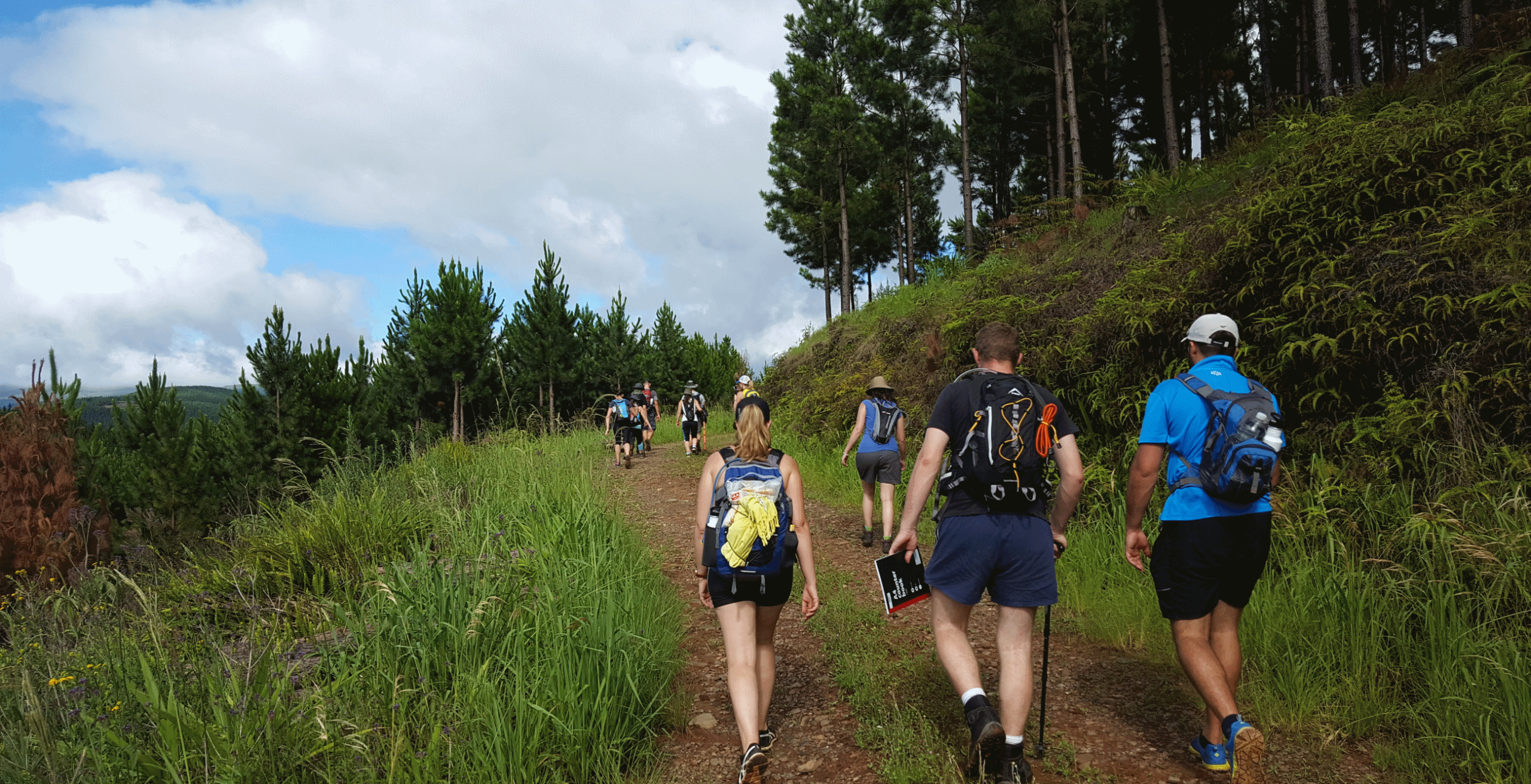
On the N4, take the Sabie/Sudwala turnoff, 10 km after the road becomes dirt, turn right at the Uitsoek Hut Sign and continue till you reach the Uitsoek Forest Plantation. Once there you can make your choice of which trail you would like to take. The day trails are Bakkrans or Beestekraalspruit. There is also an overnight trail, Houtbosloop.
Bakkrans Trail
With this trail, you start by heading out into the pine plantations. From there you head into the gorges and the landscape changes to indigenous scrub forest. Along the route, you will cross several small tributaries and also pass the Bakkrans Waterfall.
The trail is about a distance of 11 km and can be moderately difficult. Remember to bring water, a snack, hat and sunscreen as it can get hot.
Beestekraalspruit Trail
You start this trail with a gentle climb through the pine plantations and continue climbing through the indigenous forest until you reach the edge of a cliff of the Beestekraalspruit. From here you will crisscross the Beestekraalspruit about 20 times using wooden bridges which cover a distance of 4 km. After leaving the stream you gradually climb back to the starting point.
The trail is about 11 kilometres and it is considered moderately difficult.
 Houtbosloop 2 Day Trail
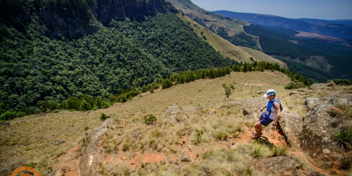
On the first day of this hike, you will start in the foothills and climb up to the plateau. Along the way, you will cross several streams before reaching the Lisabon overnight hut. On the second day, it will be a decent into the Houtboslopp Valley. The trail will take you from indigenous forest to the Lowveld Sour Bushveld and also the scarce North-Eastern Mountain Sourveld.
The first day of the trail is a distance of 14.5km and the second day is a distance of 13.5 km. To do the 2 day trail, you will need to be fit as it is a difficult trail.
Recent Comments